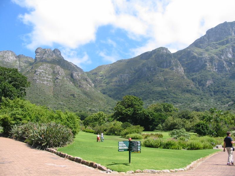
This hike starts from Kirstenbosch Botanical Gardens. You park in the upper parking area and proceed into the gardens.
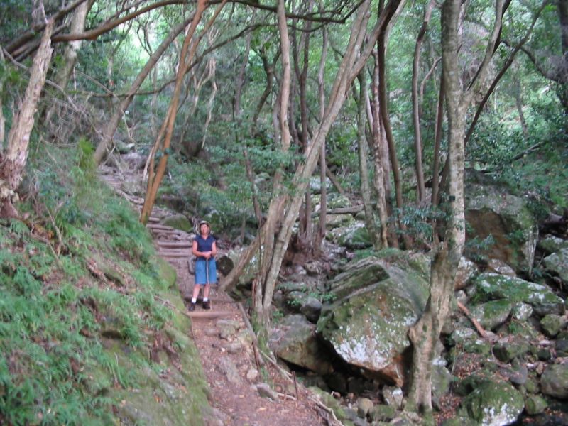
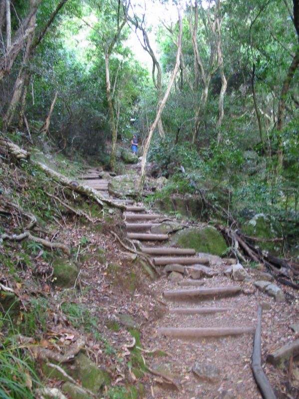
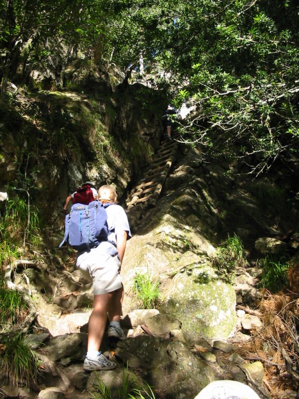
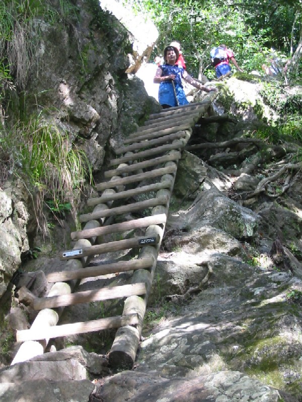
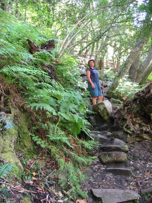
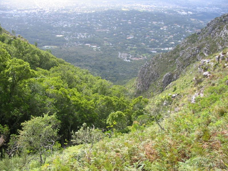
After entering the gardens, follow the signs for Skeleton Gorge and Smuts' Track. This trail was a popular route for General J. Smuts to the top of Table Mountain. The paths are well maintained. Follow the path up to the contour path, which you should reach in about ½ hour. Here are signs for Nursery Ravine, Constantia Neck (left), Rhodes Memorial (right) and your route, Skeleton Gorge (straight upwards). The path follows the left hand side of the gorge and is in shade nearly all the way to the top. You walk through a magnificent forest with some Yellowwood and Ironwood trees. The path climbs upwards steeper and steeper and after a further 45 minutes you will reach the wooden ladders. There are 6 sets of ladders to help you negotiate the steeper part of the gorge.
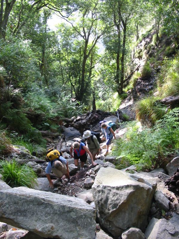
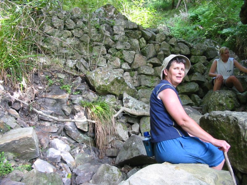
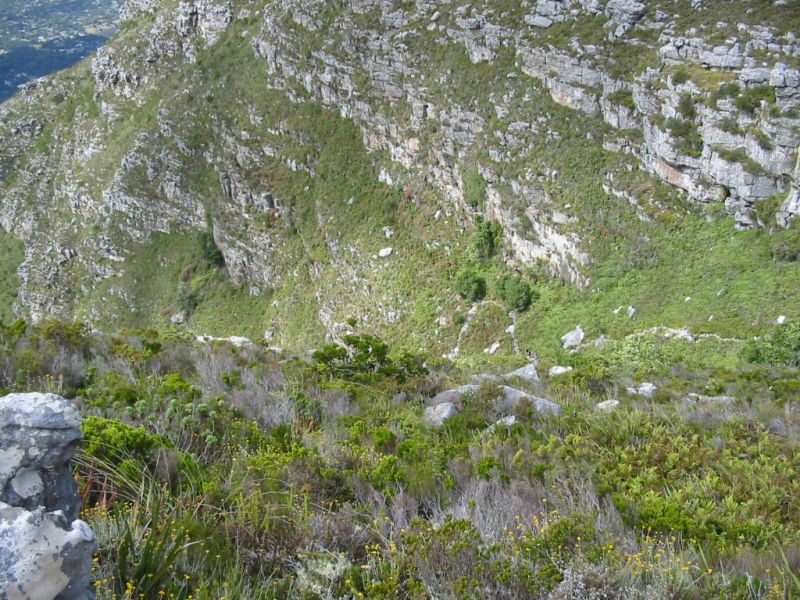
After this, the route is up the river bed in a narrow section of the gorge. Here is some rock scrambling and shortly you will reach the gabion (this is a stone wall covered with metal mesh to hold it together). This is also a ideal place to take a breather. the path now crosses over to the right side of the gorge and continues upwards, with lush ferns surrounding the path and the going is now much easier. After about 10 minutes, a path branches off to the right to a small overhanging rock.
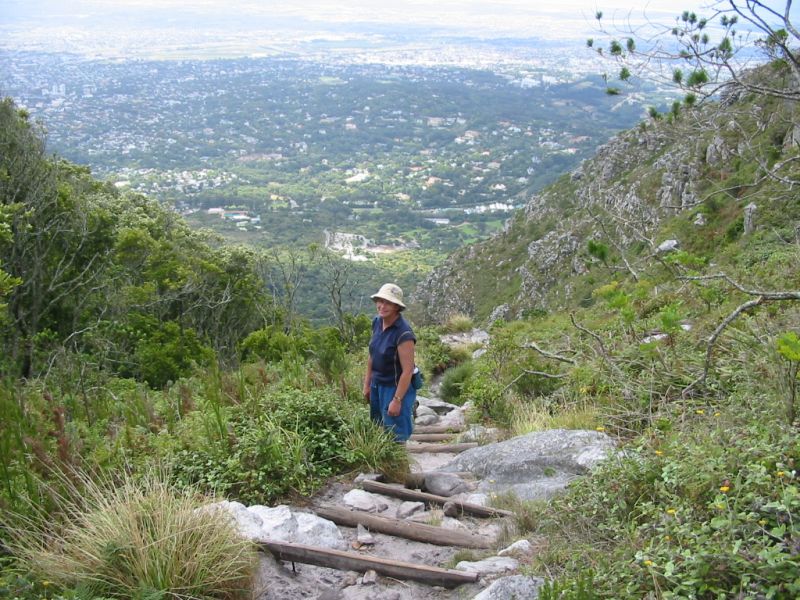
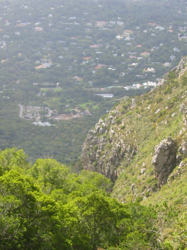
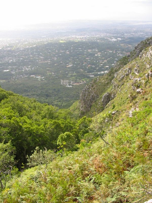
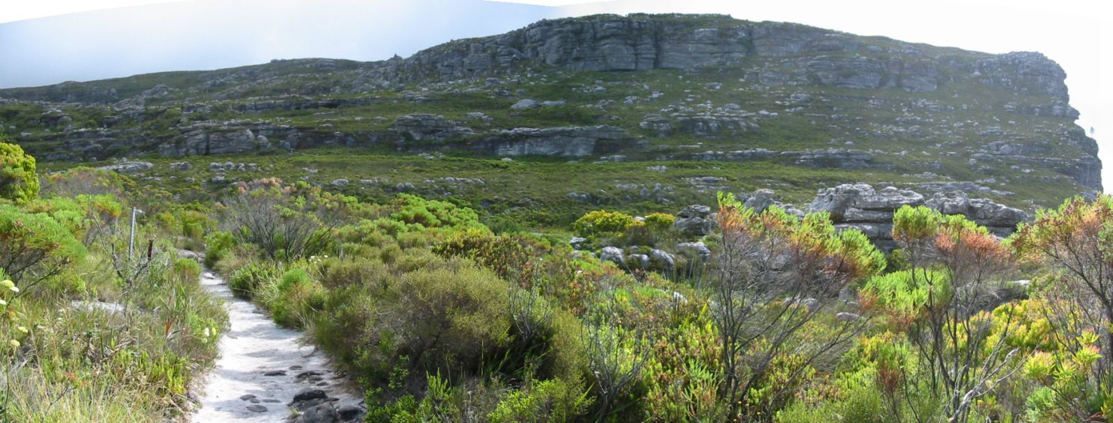
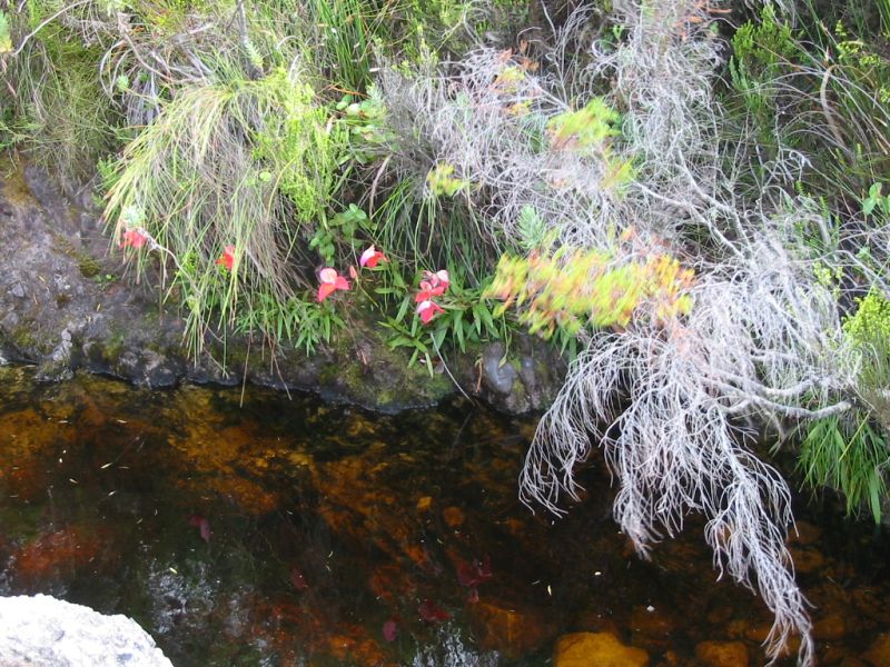
The path once more crosses over to the left side of the gorge and in January / February red Disas can be seen flowering on ledges on the left cliff face. Looking down the gorge, you can see the car park from where you started, way below. This is also the first time you emerge from the trees and is able to look down. Continue up the path and you will come to a huge boulder, called breakfast rock. Just past this, there is a 4-way split in the path. You should reach this point in about 1 hour 45 minutes after crossing the contour path.
Signs indicate Maclear's Beacon (the highest point of Table Mountain) to the right, Kasteelspoort straight ahead (also the route to the reservoirs) and back from where you came, Skeleton Gorge. The path to the left is not signposted, but this path leads to Nursery Ravine, which is a alternative route down. The route down Skeleton Gorge, back to you car, should take about 1½ hours.
Should you be Disa hunting, take the path to Maclear's Beacon. After about 30 minutes you'll come to a wooden bridge over a stream, where Disas can be found growing in the stream banks. Further on, another 45 minutes, will bring you to the Aqueduct where there are more Disas. They only flower in the summer during January and February. Just keep in mind, no picking of any type of flora is allowed on the mountain. |