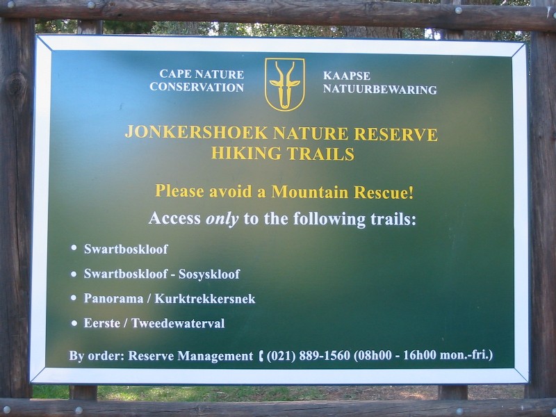
Requirements
At least 2 litres of water per person - more if you don't want to refill en-route from the river / streams.
Shirt with collar.
Bug ointment.
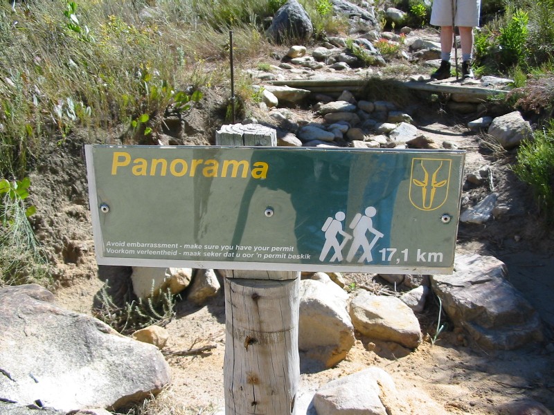
This route is 17.1 km long and is described by the official brochure as, and I quote:
"Fairly steep 4 km ascent then onto contour path, over Dwarsberg Plateau and down Kurktrekker. Water required. Splendid views."
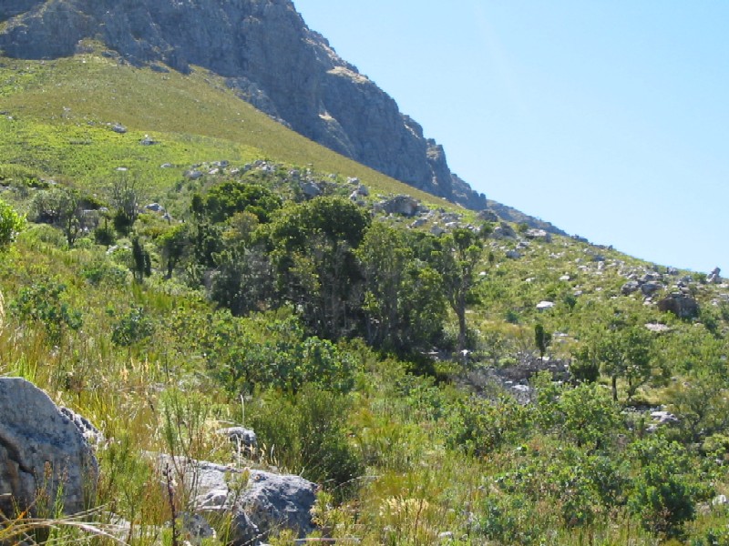
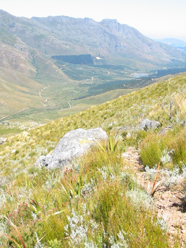
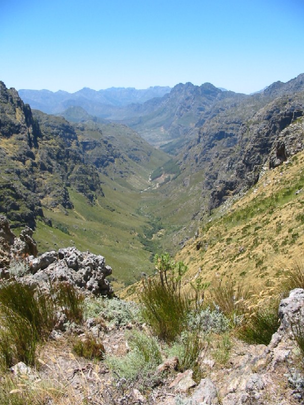
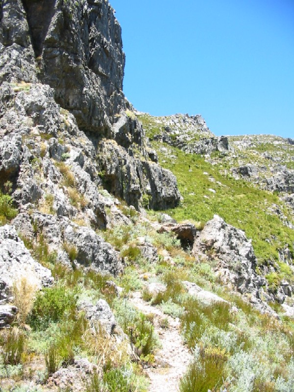
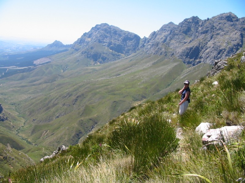
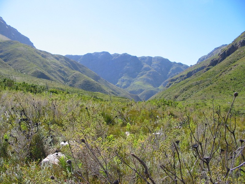
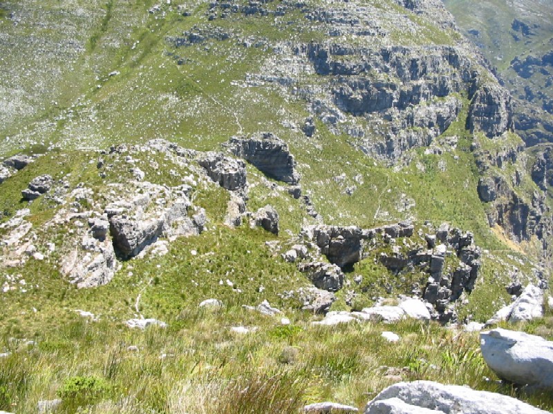
The 4 km ascent is not too steep and most of this part is laid out with log steps. You get to the first stream about 1½ hours later and a stand of trees after another 10 mins. After another 10 mins you will cross the 2nd stream. We re-filled our water bottles here. We had 1½ litres of water each. You should reach the contour path, marked by a arrow on a large rock, about 2½ hours after you started. Then on the contour path. At the end of the contour path - reached after 3½ hours from start, the path zigzags uphill to the neck between this valley and the next. This took us 30 mins. From here the views are spectacular. You are surrounded by mountains with the valley lying at your feet. The path now continuous upwards and winds around cliffs till you get to the top of the mountains. From here the path starts descending till you get to the top of Kurktrekkersnek (translated as corkscrew pass - aptly named!). Here the paths from Boegoeskloof and Swartboskloof converge.
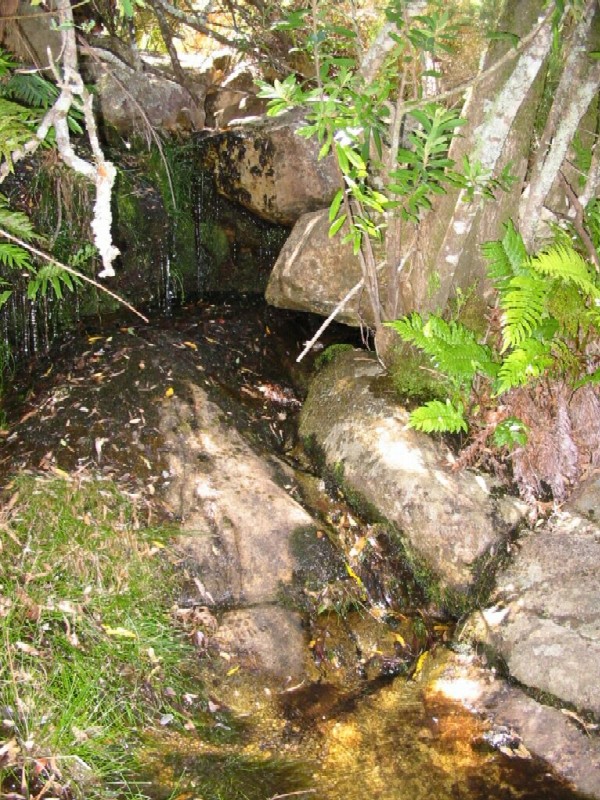
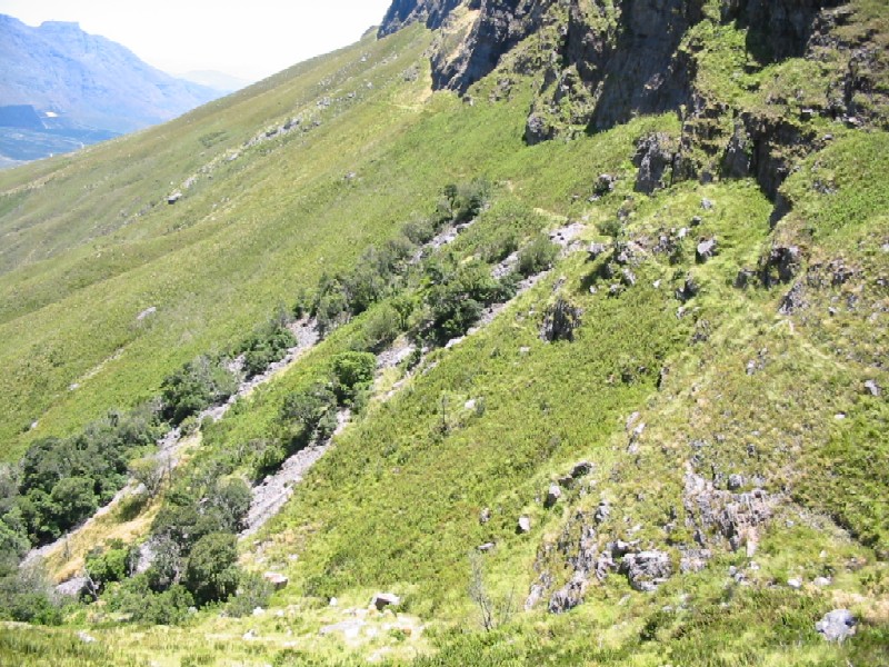
The descent is very steep, but there are also log "steps" to level it out a bit. There are a lot of loose stones, making it a slow and difficult descent. It took us 1 hour to get down to the river pool on the viewing point path. Here we had a long rest under the trees and again filled up the water bottles, of which we had about ¼ litre each left. The water here was refreshingly cold and we washed our faces and had a long drink.
From here the descent is not so steep, but still a lot of loose rocks underfoot, so the going it uncomfortable. After 30 mins from leaving water pool, we got to the bottom of the descent. You now follow the Eerste River and the turn-off to Eerste Waterval (First Waterfall) was reached after 30 mins and after another 30 mins we were back at the car.
In all, with all the stops, it took us 8½ hours for the route. It was extremely hot and that slowed us down. Should be able to do the route in cooler weather in about 8 hours. |